Old Ordnance Survey Maps of Yorkshire

  • These detailed maps normally cover an area of about one and a half miles by one mile. Each map includes an introduction.
  • They are available through our On-line Mapshop

  • Here are the details of maps for Featherstone north:

  • Yorks 249.03 North Featherstone & Ackton Hall 1905 - published 2025; intro by Alan Godfrey. ISBN.978-1-78721-827-7

    This detailed map covers the northern part of Featherstone, north of the railway, extending to the old village.

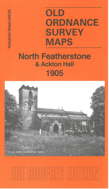
    Features include Featherstone Main Colliery, Featherstone Green, All Saints church, Featherstone Hall, Old Hall, Strawberry Hill Farm etc. On the reverse we include part of adjacent sheet 249.02 extending coverage to Ackton and Ackton Hall.

    The map links up with sheet 249.04 Pontefract to the east and 249.07 South Featherstone to the south.


  • For other information and prices, and other areas, go to The Index Page.
  • Maps in the Godfrey Edition are taken from the 25 inch to the mile map and reduced to about 15 inches to the mile. Follow this link for a complete list of our Wakefield maps; or here for the whole Yorkshire series.
    Alan Godfrey Maps, Prospect Business Park, Leadgate, Consett, Co Durham, DH8 7PW / sales@alangodfreymaps.co.uk / 7 February 2025