
 Here are the details of maps for Whitwood:

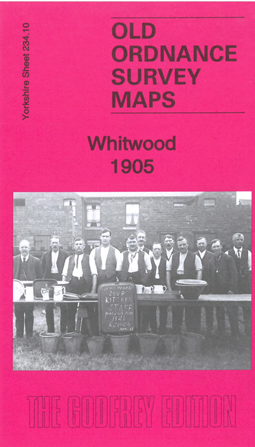
This detailed map covers the old mining village of Whitwood, plus the western edge of Castleford.
Features include Whitwood Collieries, St Philip's church, Fairies Hill, Four Lane Ends, All Saints Burial Ground, Mexboro' Arms Hotel, Manor House, Common Row, River Calder, Dock, part of Fairies Hill Cut, and numerous railways: the main York & Normanton line, NER Methley Branch, LYR Methley Branch, Whitwood Junction and several mineral railways. Whitwood Collieries are in the centre of the map with railways branching off in all directions.
The map links up with sheet 234.10 Castleford South to the east