Yorkshire 233.12 Bottom Boat & Lake Lock 1905 - published 2021; intro by Alan Godfrey. ISBN.978-1-78721-505-4 
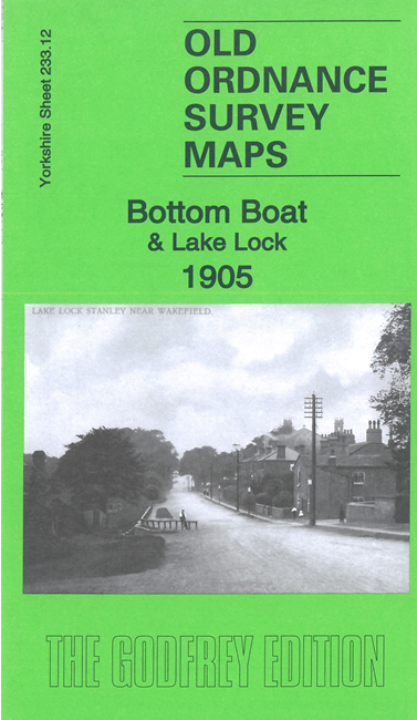
This detailed map covers Bottom Boat, Lake Lock and the eastern part of Stanley, all now part of Wakefield MBC.
Features include Newmarket Colliery, Methley Joint Railway, Stanley station, River Calder, Aire & Calder Navigation, E & W Yorkshire Union Railway,
the remains of old railways and an old canal, Bottom Boat Ferry, St Peter's church, Stanley Cemetery, Thatched House Tavern, Newmarket Gate, Moor House, etc.
The map links up with Sheets 233.11 Lofthouse Gate to the west.
You can order maps direct from our On-line Mapshop.
For other information and prices, and other areas, go to The Index Page.
Maps in the Godfrey Edition are taken from the 25 inch to the mile map and reduced to about 15 inches to the mile.
Follow this link for a complete list of our Wakefield maps; or here for the
whole Yorkshire series.
Alan Godfrey Maps, Prospect Business Park, Leadgate, Consett, Co Durham, DH8 7PW /
sales@alangodfreymaps.co.uk / 14 December 2021

 Here are the details of maps for Lake Lock: