Yorkshire 233.11 Lofthouse Gate & Outwood 1913 - published 2021; intro by Alan Godfrey. ISBN.978-1-78721-417-0 
This detailed map covers Lofthouse Gate, the northern part of Outwood, Lofthouse Park, and extends east to Stanley Lane Ends.
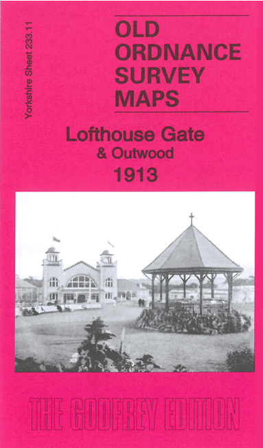
Features include Lofthouse Colliery, Lofthouse Park with aerodrome, tramway, St Mary Magdalene church, Lofthouse Brickworks,
West Yorkshire Railway with station, Methley Joint Line, mineral railway, Lee Moor, etc.
The map links up with Sheets 233.10 East Ardsley to the west, 233.15 Outwood to the south and 233.12 Bottom Boat to the east.
You can order maps direct from our On-line Mapshop.
For other information and prices, and other areas, go to The Index Page.
Maps in the Godfrey Edition are taken from the 25 inch to the mile map and reduced to about 15 inches to the mile.
Follow this link for a complete list of our Wakefield maps; or here for the
whole Yorkshire series.
Alan Godfrey Maps, Prospect Business Park, Leadgate, Consett, Co Durham, DH8 7PW /
sales@alangodfreymaps.co.uk / 7 February 2024

 Here are the details of maps for Lofthouse Gate: