Yorkshire Sheet 219.06 Garforth 1906 - published 2020; intro by Alan Godfrey. ISBN.978-1-78721-388-3 
This detailed map is double-sided for maximum coverage. The maps give very good coverage of the town of Garforth, which is now part of Leeds Metropolitan
Borough.
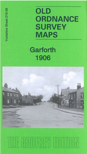
Features include railway with Garforth station, Aberford Railway, Church Garforth, West Garforth, Moor Garforth, Garforth Colliery Trench Pit,
Sisters Pit, Isabella Pit, East Garforth, St Mary's church, Firthfield, etc.
Follow this link for a complete list of our Leeds area maps; or here for the
whole Yorkshire series. You can order maps direct from our On-line Mapshop.
For other information and prices, and other areas, go to The Index Page.
Most maps in the Godfrey Edition are taken from the 25 inch to the mile map and reduced to about 15 inches to the mile.
For a full list of maps for England, return to the England page.
Alan Godfrey Maps, Prospect Business Park, Leadgate, Consett, Co Durham, DH8 7PW / sales@alangodfreymaps.co.uk / 27 November 2020

 Here are the details of maps for Garforth: