
 Here are the details of maps for Thornbury:

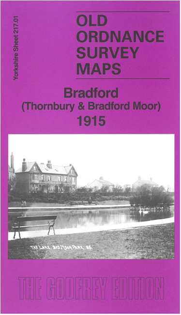
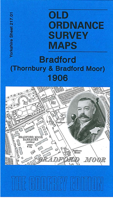
We have published two versions of this map, showing how the area changed across the years.
The maps cover the Bradford Moor and Thornbury area east of Bradford, together with much of Undercliffe. Coverage stretches from Lonsdale Street eastward to Stone Stile Lane, and from Tower Street southward to Carrington Street
Features include Bradford Moor Barracks, tramways and Thornbury depot, Miryshay, Tewit Hall, Scarr Hall, Bradford Moor Park, Highfield House, Burlington Works, Thornbury Works, Grange Farm, fever hospital, stretch of GNR Shipley Branch, Gain Lane Farm, Gain Lane Quarry, Intake Road area, Quarry House, St Clement's church etc.
The map links up with sheets 202.13 Eccleshill to the north, 216.04 Bradford North to the west, 217.02 Stanningley to the east, 217.05 Bradford East to the east.