Old Ordnance Survey Maps of Leeds

  • These detailed maps normally cover an area of about one and a half miles by one mile. Each map includes an introduction.
  • They are available through our On-line Mapshop

  • Here are the details of maps for north Horsforth:

  • Yorkshire Sheet 202.07 Horsforth (North) 1906 - published 2024; intro by Martin Handley. ISBN.978-1-78721-783-6

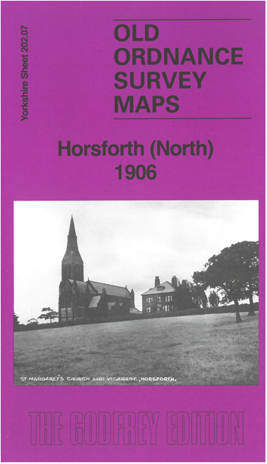
    This detailed map covers the northern part of Horsforth.

    Features include railway with Horsforth station, St Margaret's church, Troy Mills, Cookridge Mills, Soap & Tallow works, Horsforth Bridge, Brookfoot Soap Works, Westbrook House, Cripple Syke, chapels, Brownberrie Lane, West End, Hunger Hills, etc. We also include an introduction by Martin Handley and extracts from an early directory.


  • The map links up with sheets 202.06 Rawdon to the west and 202.11 Horsforth to the south.
  • Follow this link for a complete list of our Leeds area maps; or here for the whole Yorkshire series. For other information and prices, and other areas, go to The Index Page.
  • Most maps in the Godfrey Edition are taken from the 25 inch to the mile map and reduced to about 15 inches to the mile.
    For a full list of maps for England, return to the England page.
    Alan Godfrey Maps, Prospect Business Park, Leadgate, Consett, Co Durham, DH8 7PW / sales@alangodfreymaps.co.uk / 17 September 2024