Old Ordnance Survey Maps of Bradford

  • These detailed maps normally cover an area of about one and a half miles by one mile. Each map includes an introduction.
  • They are available through our On-line Mapshop

  • Here are the details of maps for Silsden:

  • Yorkshire 185.03 Silsden 1906 - published 2025; intro by Martin Handley. ISBN.978-1-78721-860-4

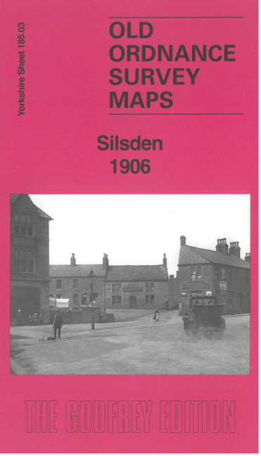
    This detailed map covers the small town of Silsden, NW of Bradford.

    Features include the town centre shown in detail, Town Hall, St James church, Canal Mills, Waterloo Mills, Hainsworth House, Old Hall, North Street Mills, Airedale Shed, Silsden House, Daisy Hill, Brunthwaite, Town Head, Bolton Road Tannery, chapels, Beck Wood, canal, Swartha, etc.

    On the reverse we include an 1889 directory of Silsden, together with an introduction by Martin handley, exploring many of the features on the map.


  • For other information and prices, and other areas, go to The Index Page.
  • Maps in the Godfrey Edition are taken from the 25 inch to the mile map and reduced to about 15 inches to the mile. Follow this link for a complete list of our Bradford maps; or here for the whole Yorkshire series.
    Alan Godfrey Maps, Prospect Business Park, Leadgate, Consett, Co Durham, DH8 7PW / sales@alangodfreymaps.co.uk / 15 April 2025