 Here are the details of maps for SE York:


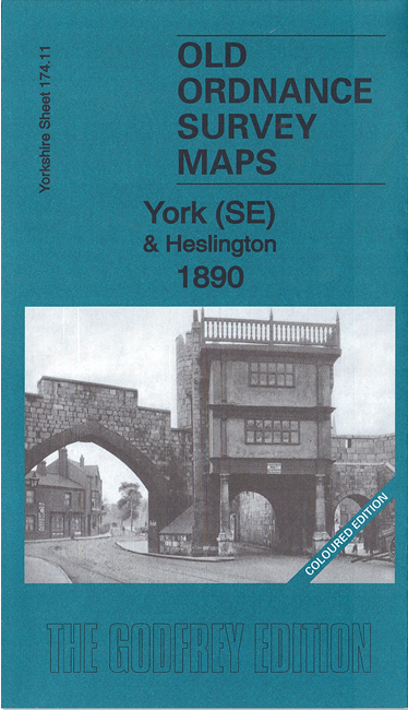
We have published two versions of this map, showing how the area changed across the years. The 1890 version is in full colour, taken from the original handcolourd map.
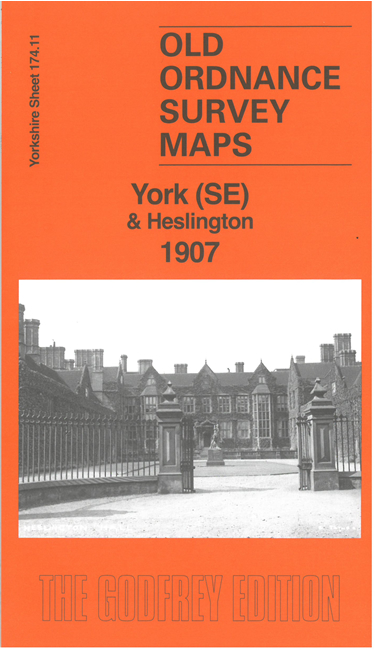
The maps cover the area from Walmgate SE towards Heslington. Features include: Walmgate Bar, St Margaret's church, City Wall, St Lawrence church, Convent of Poor Clares, Friend's Retreat, St Nicholas Hospital site, cattle market, Fulford Road with tramway, Cavalry Barracks, Infantry Barracks, Abbeyfield House, Heslington Hall, St Paul's church, Charles XII pub, Heslington Windmill etc. Both maps include specially written introductions. The 1890 version also includes extracts from a contemporary directory. The 1907 version includes a large extract from a six-inch map of 1907, giving coverage of a larger area southward to Fulford.
The map links up with Yorkshire Sheet 174.07 York NE to the north, 174.10 York South to the west.