 Here are the details of maps for York (east) and Heworth:


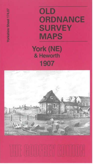
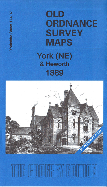
We have published two versions of this map, showing how the area changed across the years. The 1889 version is in full colour, taken from the original handcoloured map.
The maps cover the east of the city, including Layerthorpe and Heworth. Features include the Red Tower and a stretch of walls, Foss Islands Branch railway, gasworks, Monk Bridge, Layerthorpe Bridge, River Foss, workhouse, brick yards and glass works, old windmill, Heworth village, The Glen, Tang Hall, Holy Trinity church, Burnholme, Heworth Hall, Heworth Cottage etc.
Both maps include specially written introductions. The 1889 map also includes some extracts from a contemporary directory. The 1907 version includes a large extract from the 1907 six-inch map, giving coverage of a wider area.
The map links up with Yorkshire Sheet 174.06 City of York to the west and 174.11 York SE to the south.