 Here are the details of maps for Redcar:

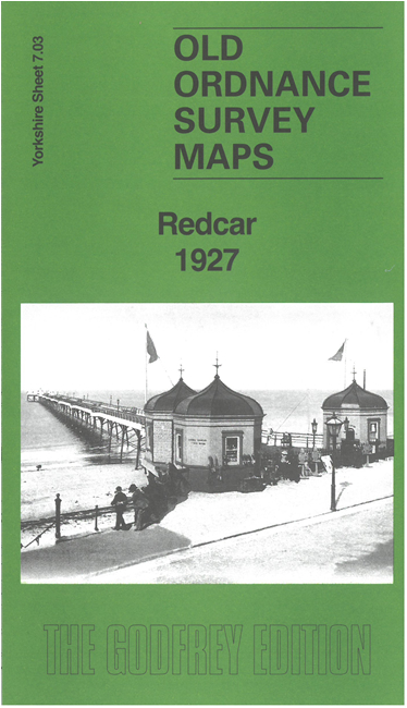
Our latest map of Redcar gives excellent coverage of the town, from the Coatham Hotel eastward.
Features include town centre with individual buildings neatly shown, railway with station, Redcar pier, Amuseument Park, Municipal Buildings, Grammar School, race course, St Peter's church, Town Clock, cemetery, Zetland Park, Westfield, The Stray, Redcar Rocks, etc. On the reverse we include a 1905 commercial directory of Redcar together with an introduction to the history of the town.
The map links up with sheet 7.02 Coatham to the west.