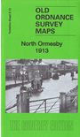
 Here are the details of maps for North Ormesby:

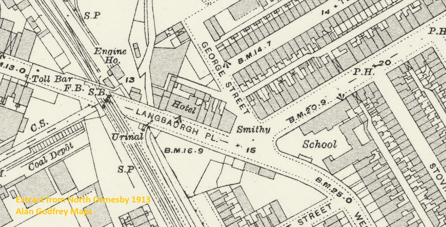
This detailed map covers North Ormesby, the western edge of Middlesbrough, and some of the ironworks of Cargo Fleet.
Features include North Ormesby village, Market Place, Holy Trinity church, North Ormesby Hospital,Whitehouse Farm, Dr Barnardo's Home, Holy Rood Orphanage, stretch of NER Guisborough Branch, North Ormesby Road, toll bars, stretch of NER Darlington & Saltburn line, Cargo Fleet station, Cargo Fleet Junction, Brambles Farm, North Ormesby Cemetery, Cold Knuckles Farm, Cargo Fleet village. At the top of the map are extensive stretches of ironworks and chemical works, including parts of Yorkshire Tube Works, Ormesby Iron Works, Normanby Iron Works, Teesside Bridge & Engineering Works, Cargo Fleet Iron Works, and Cleveland Chemical Works, with their railway connections.
The map links up with Yorkshire Sheets 6.11 Cargo Fleet to the north, 6.14 Middlesbrough to the west.
Further information:
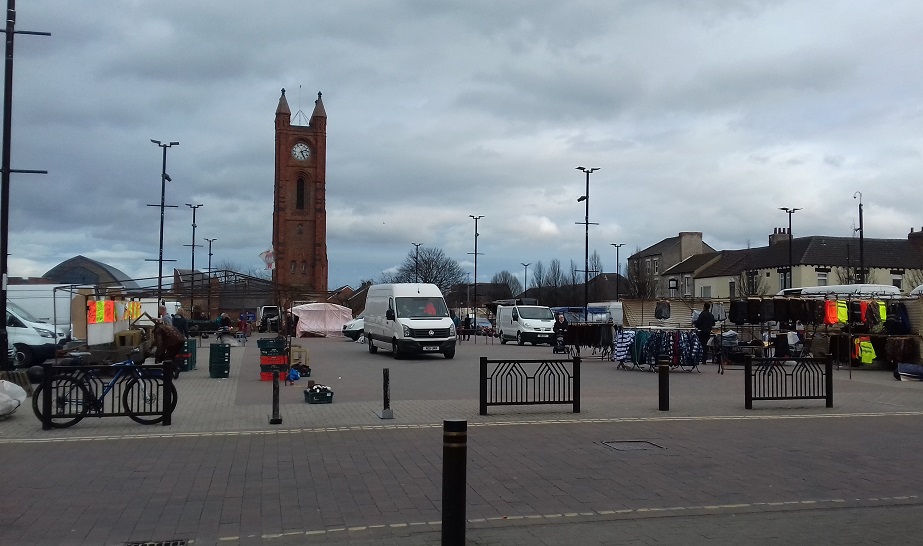
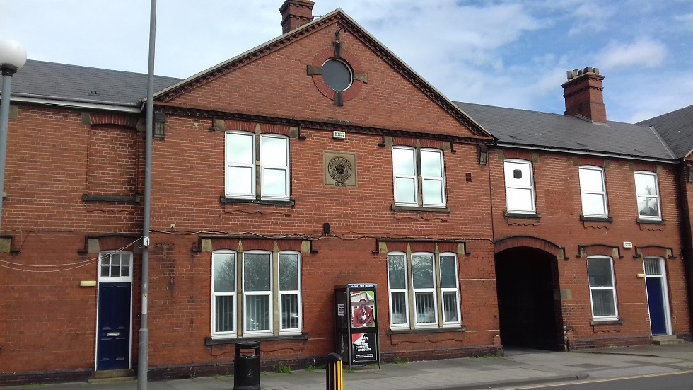
North Ormesby was created as a model village in 1854, to house the workers at the new Ormesby Iron Works.It gradually grew into a substantial town in its own right, with a church, large market place, two cinemas, and a pioneering cottage hospital. Immediately to the north was a string of large iron- and chemical-works, with a complex of railways to serve them - and a tiny station, Cargo Fleet, surrounded by tracks. A separate village of Cargo Fleet also sprang up in the early 20th century but has now virtually disappeared. Other housing estates would also be developed after this map, covering the farmland and allotment gardens shown here. The map shows this neatly arranged village, around its market place, with much of the industry that it served, and the notes discuss many of its features, not least the trolley buses which survived until 1971, the penultimate system to close in the UK. But they had not arrived in 1913, the year of our map, and the year when North Ormesby was swallowed up by Middlesbrough.


 .
.
"...Two homes for children are shown on Westbourne Grove. The Holy Rood Orphanage was set up in 1867 by the Sisterhood of the Holy Rood, an Anglican order of nuns. Its declared intention was ‘to train girls who are orphans, destitute, or have bad homes, for service’ and it occupied Worsley House, with accommodation for up to 40 girls. The orphanage moved to Marton Road, Middlesbrough, in the 1920s and had closed by the early 1950s. Worsley House has been demolished. Just along the road was a Dr Barnardo’s Home, opened in March 1903 at Lincoln Villa, with accommodation for 24 girls. With the onset of World War II they were moved to an evacuation home at Ripley Castle. Lincoln Villa survives and has been converted into flats....."