Old Ordnance Survey Maps of Cambridgeshire

  • These detailed maps normally cover an area of about one and a half miles by one mile. Each map includes an introduction.
  • They are available through our On-line Mapshop

  • Here are the details of maps for Wisbech:

  • Cambridgeshire 7.03a Wisbech 1900 - published 2002; intro by Trevor Bevis. currently out of print
  • Cambridgeshire 7.03b Wisbech 1925 - published 2026; intro by Barrie Trinder. ISBN.978-1-78721-948-9

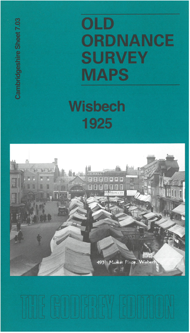
    These very detailed maps give good coverage of the town of Wisbech, an area stretching from Barton Lane Crossing eastward to Clarkson Avenue, and from Leverington Road southward to Victoria Road. Features include New Wisbech, The Castle, Cattle Market, Wisbech Canal, River Nene, St Peter & St Paul's church, New Walsoken, Bowthorpe, East Field, St Augustine's church, workhouse. The complicated railway information includes MGN Joint line with Wisbech station, GER Harbour branch, GER Goods station off Oldfield Lane. Coverage extends westward along Barton Lane to the railway crossing.

    The 1925 map is double-sided and on the reverse we include a section of adjacent sheet 4.15 extending coverage about half a mile northward.


  • Follow this link for a complete list of our Cambridgeshire maps.
  • You can order maps direct from our On-line Mapshop. For other information and prices, and other areas, go to The Index Page.
  • Maps in the Godfrey Edition are taken from the 25 inch to the mile map and reduced to about 15 inches to the mile. For a full list of maps for England, return to the England page.
    Alan Godfrey Maps, Prospect Business Park, Leadgate, Consett, Co Durham, DH8 7PW / sales@alangodfreymaps.co.uk / 9 April 2026