
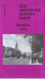
 Here are the details of maps for Stratford, London E15:
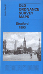
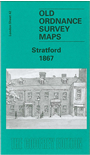

The three versions of this map show how the area developed across the years, becoming more built up. Each covers the same area, stretching from Hackney Cut Navigation and the River Lea eastward to Romford Road and Carnarvon Road; from Temple Mills Lane and Chandos Road southward to Lett Road and Langthorne Street. They cover an area that has changed massively across the years.
Features on the maps include Stratford station with the railway works, sidings and engine depots; GER Victoria Park Branch, GER Lea Curve and High Meads Loop, Stratford Market station, GER Woolwich Branch, trams and tram depot, Stratford New Town area, schools, banks, chapels, St John's church, St Paul's church, Stratford Brewery, Theatre, Waterworks River, Hackney Cut Navigation, City Mill River, Lea Valley Distillery, Virgemount Chemical Works, High Meads, Channel Sea River, London Spinning Mills, Maryland Point station, Stratford Green, Abbey Mills Distillery, etc.
Each map also has includes extracts from contemporary directories.
The map links up with 32 Leyton to the north, 41 Hackney to the west, Sheet 43 Forest Gate to the east and 53 Bow to the south.
 Follow this link for a complete list of our London maps .