
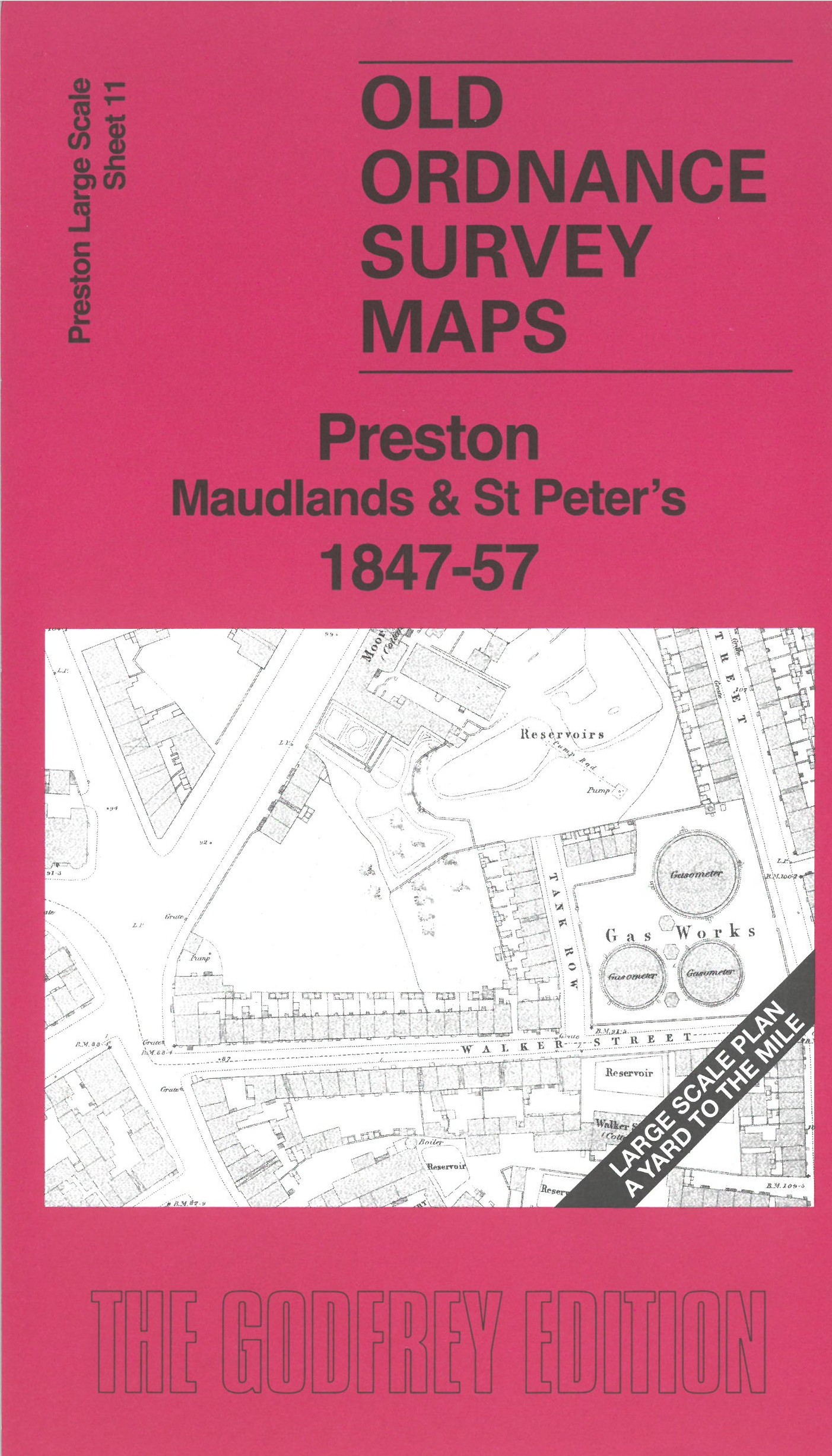
 Here are the details of maps for Maudlands and NW Preston:

This map covers the area of Preston around Maudlands and today's university quarter.
Features include canal basin, Maudland station, Maudland Goods Station, engine shed, Leighton Street Mill, Canal Street Mill, St Peter's Church, St Mary's RC Church, railway approaches, Fylde Road Mill, Soho Foundry, Trinity Church, St Thomas Church, Lawson Mill, Marsh Lane Mill, etc
On the reverse we include a six-inch map of Preston and district in 1847, together with a 2,000 word introduction to the history of the area.
The map links up with sheet 12 Park Road to the east, 16 Preston Station to the south.