Old Ordnance Survey Maps of Nottinghamshire

  • These detailed maps normally cover an area of about one and a half miles by one mile. Each map includes an introduction.
  • They are available through our On-line Mapshop

  • Here are the details of maps for Colwick:

  • Notts Sheet 42.04 Colwick & Netherfield 1899 - published 2025; intro by Barrie Trinder. ISBN.978-1-78721-873-4

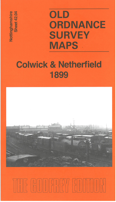
    This detailed map is dominated by the great Colwick Locomotive Sheds, with Locomotive Junction and its many sidings and yards. The Great Northern Railway's Nottingham Branch runs through the map, with its Derbyshire Extension lines. Other features include Colwick Manor House, Colwick Vale, cabinet works, Britannia Mills, St George's Church, etc.

    On the reverse we include extracts from a 1902 directory for Netherfield together with a specially written introduction to the history of the area.

    The map links up with sheet 38.16 Gedling & Carlton to the north.


  • Follow this link for a complete list of our Nottinghamshire Series maps.
  • You can order maps direct from our On-line Mapshop. For other information and prices, and other areas, go to The Index Page.
  • Maps in the Godfrey Edition are taken from the 25 inch to the mile map and reduced to about 15 inches to the mile. For a full list of maps for the East Midlands, return to the East Midlands page.
    The Godfrey Edition / sales@alangodfreymaps.co.uk / 11 July 2025