Notts Sheet 20.05 Tuxford 1898 - published 2025; intro by Barrie Trinder. ISBN.978-1-78721-841-3 
This very detailed map gives excellent coverage of the small town of Tuxford.
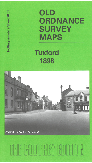
Features include town centre with individual buildings clearly shown, Market Place, St Nicholas church, Tuxford Hall, Chantry House, chapels, windmills, etc;
railways with Dukeries Junction, GNR station, Fountain Hotel etc.
An 1891 directory of Tuxford is included on the reverse together with a specially written introduction to the history of the town.
Follow this link for a complete list of our Nottinghamshire Series maps.
You can order maps direct from our On-line Mapshop.
For other information and prices, and other areas, go to The Index Page.
Maps in the Godfrey Edition are taken from the 25 inch to the mile map and reduced to about 15 inches to the mile.
For a full list of maps for the East Midlands, return to the East Midlands page.
The Godfrey Edition / sales@alangodfreymaps.co.uk / 21 February 2025

 Here are the details of maps for Tuxford: