
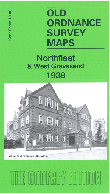
 Here are the details of maps for Northfleet & Gravesend:
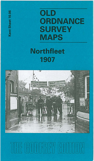

We have published two versions of this map, showing how the area changed across the years.
The maps cover the area from Northfleet to west Gravesend, coverage stretching form St Botolph's church in Northfleet eastward to St James church and Bath Street in Gravesend, and from the river southward to Gravesend Cemetery. They are busy and very varied maps, with numerous railways, wharves and factories as well as streets of housing.
Features include the SECR North Kent line (the map ends just short of Gravesend station), the SECR Gravesend Branch with Rosherville station and the West Street terminus, also pier; Rosherville Gardens; Red Lion Cement Works, Electric Cable Works, London Portland Cement Works, Brick Works, lime works with kilns, chalk pits, many with industrial tramnways; London Road, Perry Street, Gravesend & Milton Union Workhouse, Darnley Road, tramways, Northfleet Cemetery, Isolation Hospital.
The 1907 map is unusual in this series for having contours.
The map links up with sheets 10.05 Swanscombe to the west and 10.07 Gravesend to the east