Old Ordnance Survey Maps of Northamptonshire

  • These detailed maps normally cover an area of about one and a half miles by one mile. Each map includes an introduction.
  • They are available through our On-line Mapshop

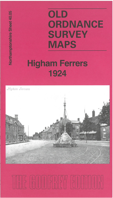
  • Here are the details of maps for Higham Ferrers:

  • Northants Sheet 40.05 Higham Ferrers 1924 - published 2025; intro by Barrie Trinder. ISBN.978-1-78721-900-7

    This detailed map of Higham Ferrers is double-sided for maximum coverage.

    Features include the town shown in detail with individual buildings, St Mary's Church, Market Place, Grammar School, leather works, Town Hall, chapels, Higham Ferrers branch railway with station, sidings, Warmonds Hill, etc. Coverage then extends about a mile westward from the town.

    This map links up with Northants Sheet 40.01 Irthlingborough to the north and 40.09 Rushden West to the south.


  • Follow this link for a complete list of our Northamptonshire maps. For other information and prices, and other areas, go to The Index Page.
  • Maps in the Godfrey Edition are taken from the 25 inch to the mile map and reduced to about 15 inches to the mile. For a full list of maps for England, return to the England page.
    Alan Godfrey Maps, Prospect Business Park, Leadgate, Consett, Co Durham, DH8 7PW / sales@alangodfreymaps.co.uk / 30 October 2025