Old Ordnance Survey Maps of Northamptonshire

  • These detailed maps normally cover an area of about one and a half miles by one mile. Each map includes an introduction.
  • They are available through our On-line Mapshop

  • Here are the details of maps for Irthlingborough:

  • Northants Sheet 40.01 Irthlingborough 1924 - published 2025; intro by Barrie Trinder. ISBN.978-1-78721-899-4

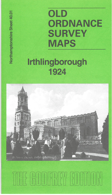
    This detailed map covers the large village of Irthlingborough with its industries to the south.

    Features include the village shown in detail with individual buildings, including Market Cross, St Peter's Church, boot and leather works, schools etc. Other features include Nene Valley Tannery, Irthlingborough Tannery, Ebbw Vale Iron Ore Works, Premier Cement Works, quarries, with their railway lines and tramways, connecting to the Northampton & Peterborough line that runs through the map. On the reverse we include a 1920 directory of Irthlingborough.

    This map links up with Northants Sheet 40.05 Higham Ferrers to the south.


  • Follow this link for a complete list of our Northamptonshire maps. For other information and prices, and other areas, go to The Index Page.
  • Maps in the Godfrey Edition are taken from the 25 inch to the mile map and reduced to about 15 inches to the mile. For a full list of maps for England, return to the England page.
    Alan Godfrey Maps, Prospect Business Park, Leadgate, Consett, Co Durham, DH8 7PW / sales@alangodfreymaps.co.uk / 30 October 2025