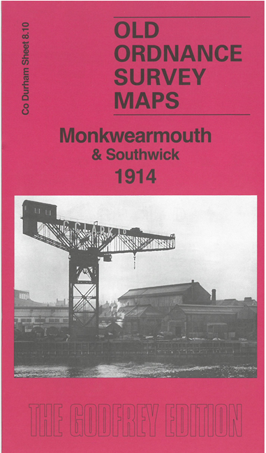
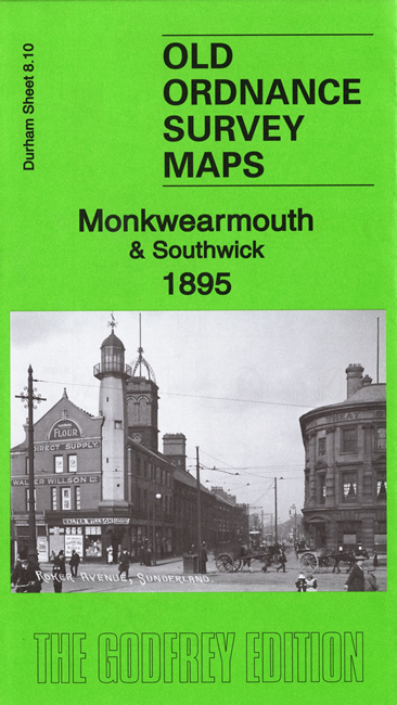
 Here are the details of maps for Monkwearmouth:

We have published two versions of this busy map, showing how the area changed across the years. They cover an area from Southwick eastward to Brandling Street, Monkwearmouth, and from Wearmouth Colliery northward.
Features include railways, Wearmouth colliery, tramways, Monkwearmouth Iron Works, All Saints church, Sunderland AFC's original stadium, Wearmouth Foundry, Ayre's Quay Bottle Works, St Columba's church, Deptford Yard, Low Southwick, High Southwick, Holy Trinity church, Carley Hill Wagonway, Cornhill Dock, Marine Engineering Works, shipbuilding yards, Cornhill Glassworks, etc.
This map links up with Sheets 8.06 Fulwell to the north, 8.09 Hylton Castle to the west, 8.07 Roker Seafront to the east, and 8.14 Central Sunderland to the south.