
 This is our map for Hanworth::

This detailed map covers parts of Hampton and Hanworth, with coverage stretching from Castle Way eastward to Nightingale Road and southward to Barlow Road.
Features include centre of Hanworth with war memorial, St George's church, Tudor Court, reservoirs and pumping station, many nursery greenhouses, isolation hospital, All Saints church etc. On the reverse we include 1890 and 1933 directories for Hanworth.
The map links up with Middlesex Sheet 20.14 Hanworth Park to the north, 25.06 Kempton Park to the south and London sheet 131 Teddington to the east.
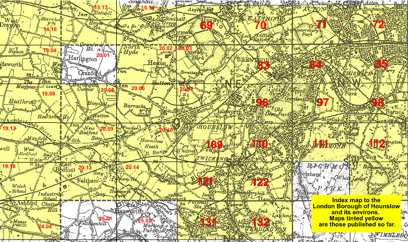 Follow this link for a list of our maps for the London Borough of Hounslow, or here for a complete list of our London maps .