
 Here are the details of maps for Osterley Park:

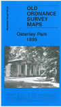
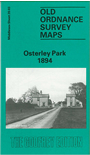
We have published two versions of this map, showing how the area developed across the years.
The 1894 map is dominated by Osterley Park, both the house and the grounds. To the east and south the Hounslow & Metropolitan railway runs past, including Osterley Park & Spring Grove station. South of this are the developing streets of Spring Grove, together with St Mary's church and the RC Training College, formerly Thornbury House. Near the station lies the hamlet of Scrattage, a name that was overlooked by developers and the railway, and had disappeared by the time of the 1935 map. Other features include Wyke House and Wyke Farm. On the reverse are directories for Spring Grove and Heston, and an extract from an Inch to the Mile map for the area.
The 1935 map covers the same area, showing further development. One the reverse is a 1933 directory for Heston.
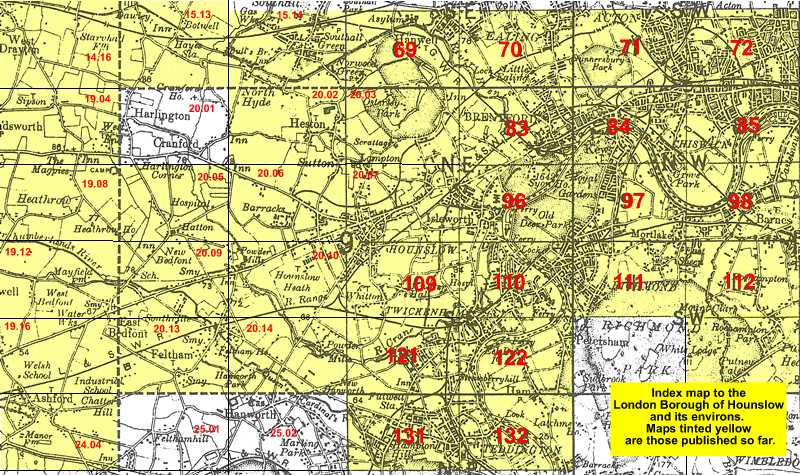
The map links up with London Sheets 69 Hanwell & Norwood Green to the north, 83 Brentford to the east; and Middlesex Sheets 20.02 Heston to the west and 20.07 Hounslow to the south.
 Follow this link for a list of our maps for the London Borough of Hounslow, or here for a complete list of our London maps .