
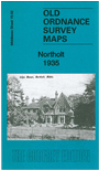
 Here are the details of maps for Northolt:

This detailed map covers part of Northolt, with coverage from the Crown Inn and Ealing Road westward to West End Road and Down Barns.
Features include Northolt Manor Riding School, Islips Manor, Islips Manor Park, West End with White Hart pub. The area was largely rural but a stretch of the new Western Avenue is shown, partly under construction, telling of development to come. We include 1890 and 1933 directories of Northolt on the reverse.
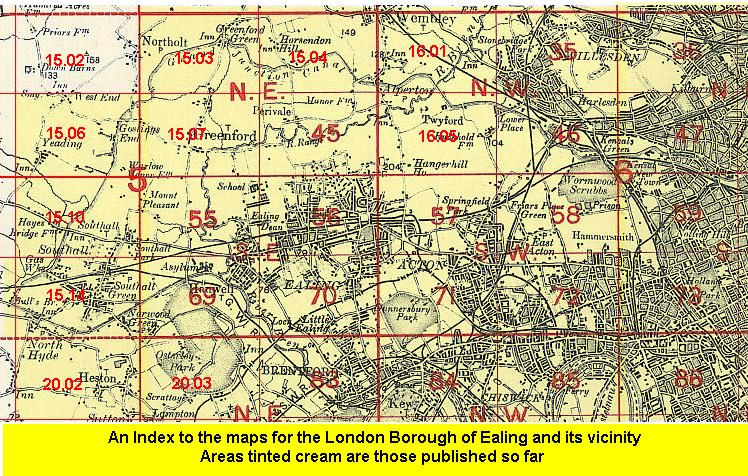
The map links up with Middlesex Sheets 10.14 Ruislip SE to the north, 15.03 North Greenford to the east, 15.06 Yeading to the south.
 Follow this link for a list of our maps for the London Borough of Ealing, or here for a complete list of our London maps .