
 Here is information about the map for Littleheath & Potters Bar:

This detailed map is split between Hertfordshire and Middlesex, though today, following county reorganisation, it is almost entirely the former. The map is centred on the village of Littleheath, with Christ Church, Littleheath House, Darkes Lodge, Heronfield and a group of streets: Church Road, Heath Road, Osborne Road etc. North Road, part of the Great North Road, runs north-south through the centre of the map. Potters Bar & South Mimms station is in the SW corner of the map. The Causeway, Baker Street and Billy Lows Lane run largely through fields. The map extends east to Coopers Lane and Northaw Place. On the reverse we include a good section of the 1914 Edition, showing how the area changed over that period.
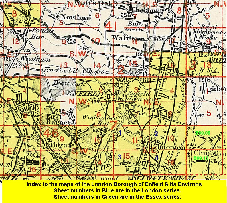 Follow this link for a list of our maps for the London Borough of Enfield, or here for a complete list of our London maps .