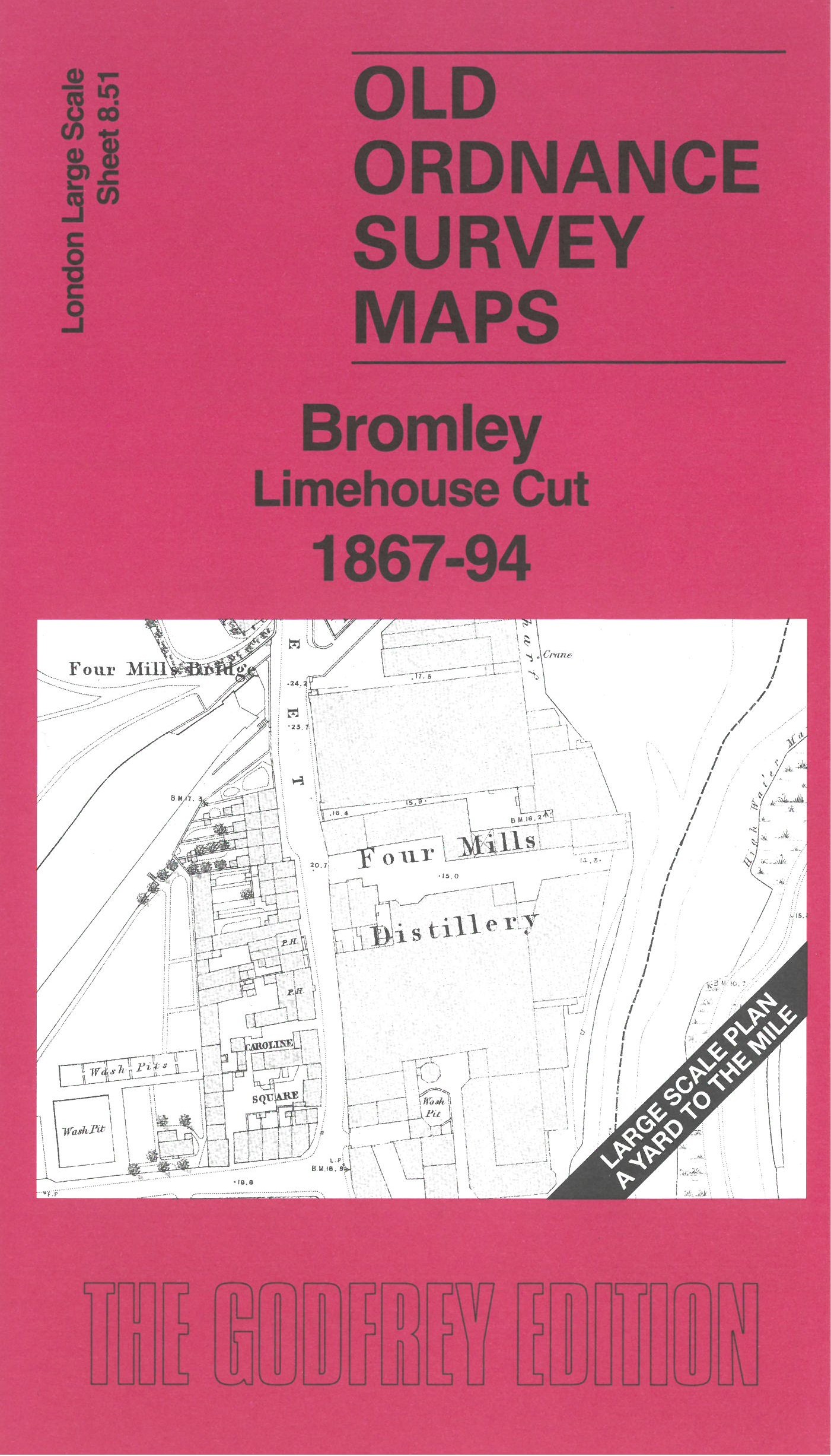
 Here are the details of the map for Limehouse Cut:

This very detailed map covers the area of Bromley around the Limehouse Cut.
Features include Limehouse Cut which crosses the map SW-NE, Four Mills Distillery, Eagle Chemical Works, Manorfield House, Running Ground, North London Railway (Poplar Branch), All Hallows Church, engine sheds, various works alongside Limehouse Cut, etc.
On the reverse we include the 1894 map together with a specially written introduction.
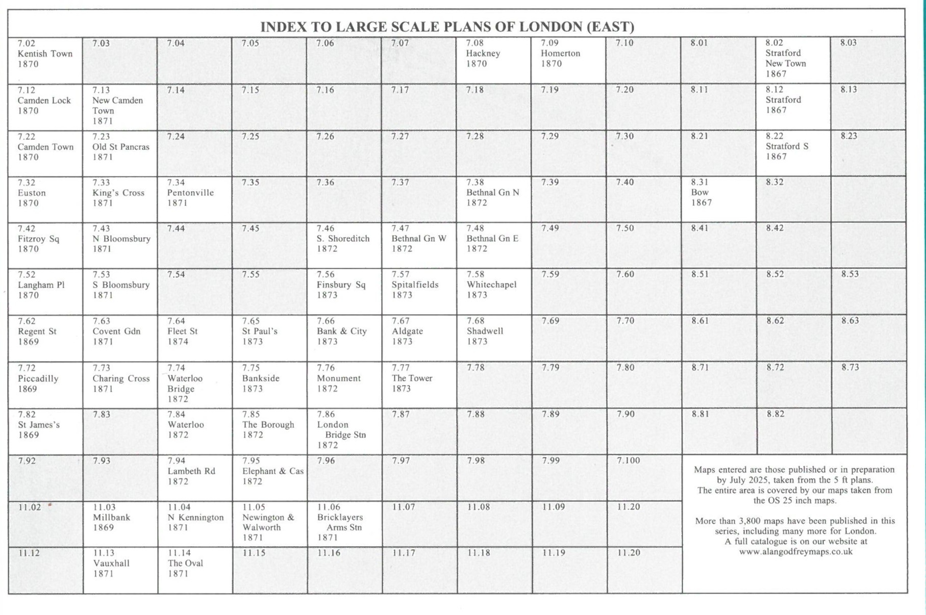
The map links up with sheet 8.41 Bromley-by-Bow to the north, 7.60 Bromley Common to the west.