
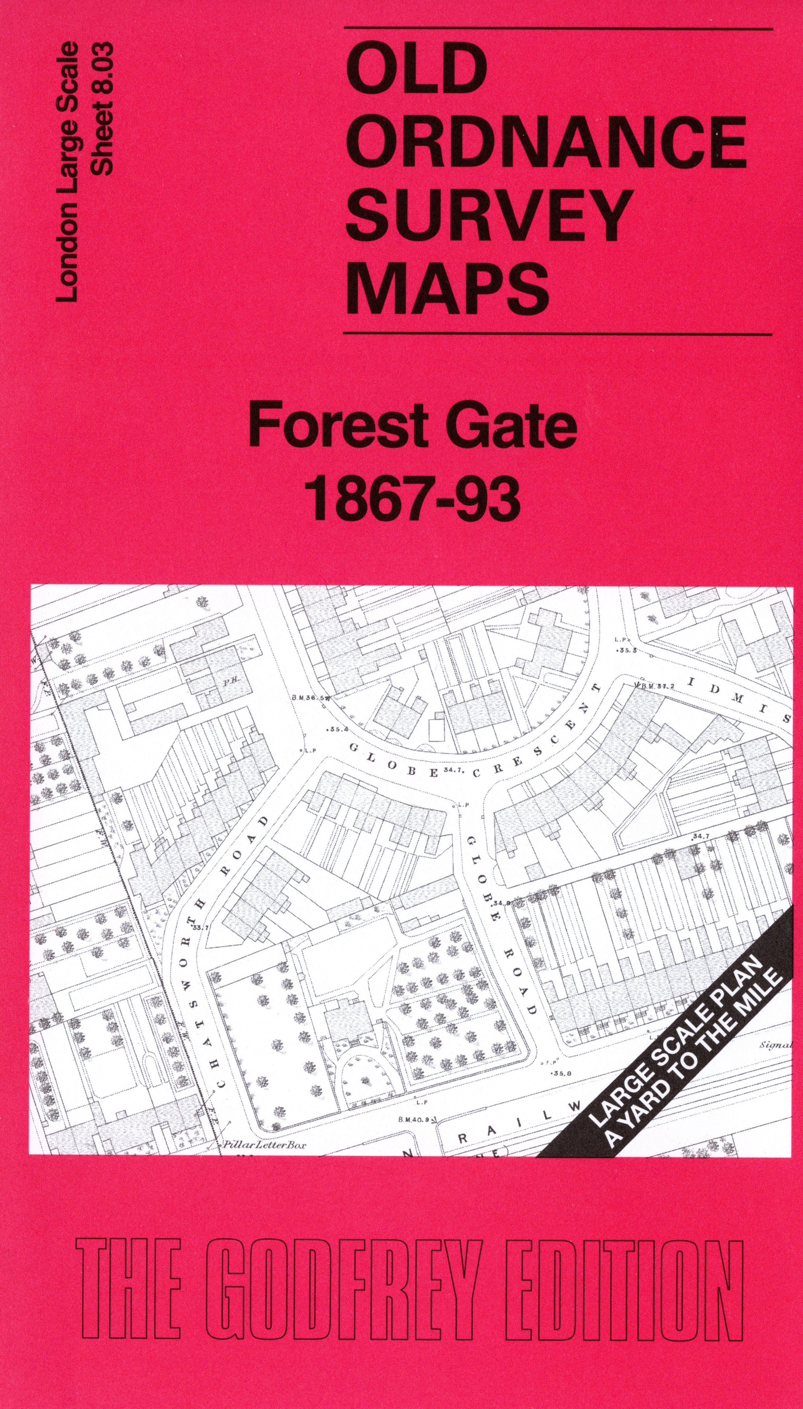
 Here are the details of the map for Forest Gate:

This very detailed map covers the Forest Gate area, east of Stratford. Features include Caernarvon Hall, the Industrial School (shown in detail) and the streets and houses around Globe Crescent north of the railway.
On the reverse we include the 1893 map, showing the same area at a later stage. By then the streets are more fully built up and St James's Church has been built. We also include an introduction to the history of the area.
The map links up with sheet 8.02 Stratford New Town to the west.