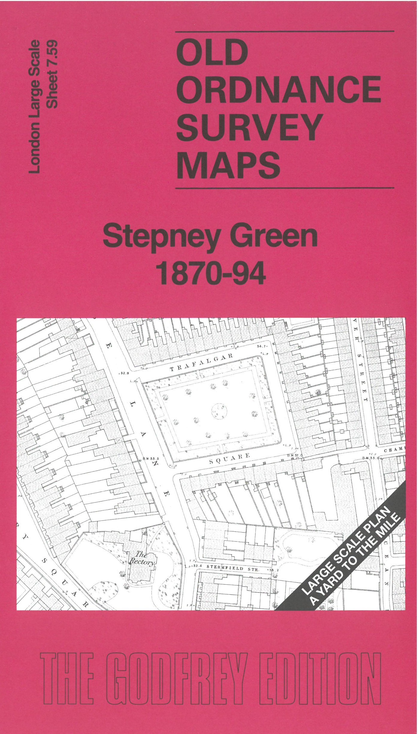
 Here are the details of the map for Stepney Green:

This very detailed map covers the area around and to the east of Stepney Green. It is double-sided, with the 1870 map on one side and a reduced version of the 1894 map on the reverse. We also include an introduction to the history of the area.
Features (from 1870 map) include Stepney Green, Beaumont Square, Beaumont Institution, St Dunstan's Church, East London Cemetery, St John's Church, Regent's Canal, Johnson's Lock, Commercial Gas Works etc.
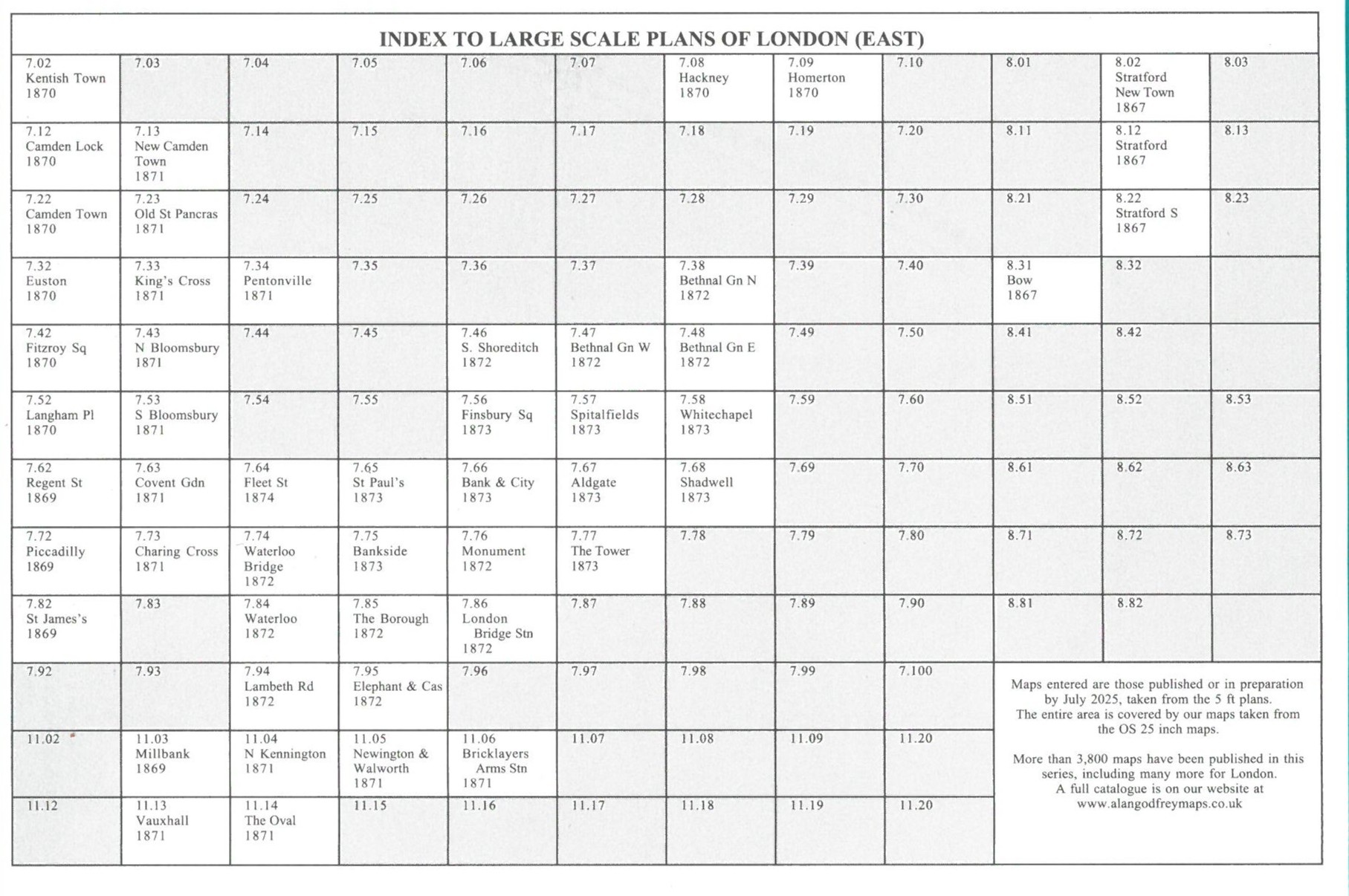
The map links up with sheet 7.58 Whitechapel to the west, 7.60 Bow Common to the east.