
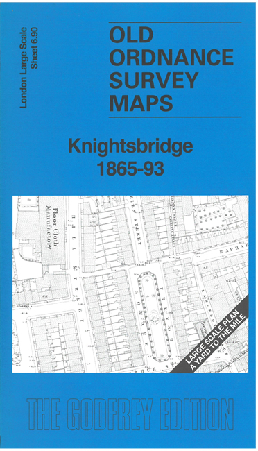
 Here are the details of the map for Knightsbridge:

This detailed map covers Knightsbridge with Rotten Row and part of the Serpentine to the north. The highly detailed 1st edition 1865 map is our principal map, with the 1893 version on the reverse.
Featurs on the map include Kingston House, All Saints church, Hyde Park Cavalry Barracks, Trevor Chapel, Montpelier Square, Kent House, Strathedon House, etc but much of the history lies in the finely detailed squares, terraces and mews. Pamela Taylor, author of the Victoria County History book on Knightsbridge & Hyde, gives an authoratative introduction to the history of the area.
The map links up with sheet 6.89 Kensington Albert Hall to the west, 6.100 Brompton to the south.