London Large Scale Sheet 03.72 Lower Highgate 1869-95 - published 2025. Intro by Pamela Taylor. ISBN.978-1-78721-845-1 
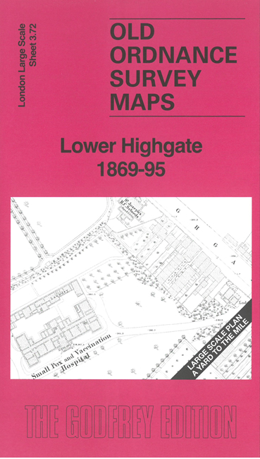
This very detailed map covers Lower Highgate and was at the northern extremity of the OS 5-foot coverage at the time.
Features include Highgate Cemetery, Small Pox & Vaccination Hospital, Highgate Hill, Whittington College almshouses, Methodist chapel, etc. The
later map also shows Holborn Union Infirmary, St Pancras Infirmary, Waterlow Park and tramways.
For other Town Plans go to the London Town Plans page. Here is an Index Grid
For a full list of maps for London and Middlesex, return to the London page.
For other information and prices, and other areas, go to The Home Page.
Alan Godfrey Maps, Prospect Business Park, Leadgate, Consett, DH8 7PW. Tel 01207 583388
The Godfrey Edition / sales@alangodfreymaps.co.uk / 6 March 2025

 Here are the details of the map for Lower Highgate: