
 Here are the details of maps for Neasden:

We have published three versions of this map, showing how the area changed across the years.
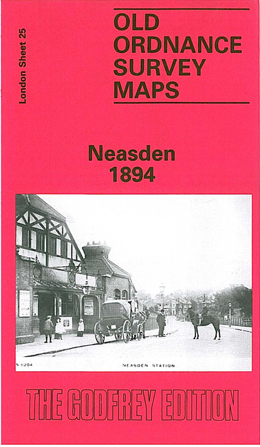
The 1894 map is centred on what was then the rural village of Neasden and covers an area of a mile by a mile and a half, stretching from Kingsbury Bridge to Dudding Hill Junction. Features include the Metropolitan railway works, Neasden station, the MR Midland & South Western Junction line with Dudding Hill station, The Grange, Dollis Hill Lane, Dollis Hill Villa, Neasden Lane, Blackbird Hilll Farm. On the reverse is an extract from the the 1st Edition map showing Neasden village in 1878.
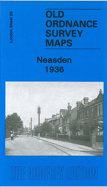
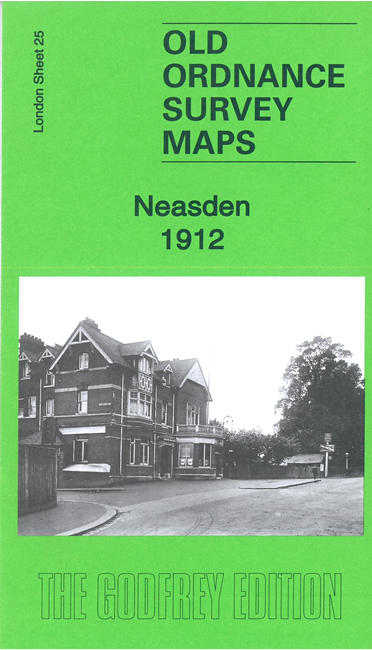
The 1912 and 1936 map shows an increasingly busy area.
The map links up with Middlesex Sheets 11.10 Welsh Harp to the north, 11.13 Wembley Park to the west; and with London Sheets 26 Cricklewood to the east and 35 Willesden to the south.
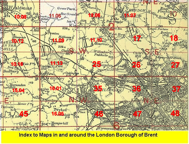 Follow this link for a list of our maps for the London Borough of Brent, or here for a complete list of our London maps .