
 Here are the details of maps for Anfield:


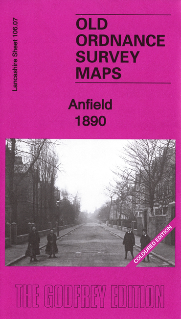
We have published two versons of this detailed map, showing how the area developed across the years. The 1890 map is fully coloured, taken from the beautiful 1st edition OS handcoloured map.
The maps cover the Anfield area on the north side of Liverpool, with coverage stretching from Liverpool football ground eastward to Lisburn Lane, and from New Hall Lane southward to Esmond Street. Features include tramways, many streets of terraced houses, Belmont Road Workhouse, Liverpool football ground, part of Stanley Park, south part of Liverpool Cemetery, Holy Trinity church, fever hospital, Advent Church, Hydraulic Engineering Works, Clubmoor, Tue Brook, St John the Baptist church, Tue Brook House, Lisburn Farm etc.
Each map includes extracts from an early directory together with a specially written introduction to the history of the area.
This map links up with sheet 106.03 Walton to the north, 106.06 Kirkdale to the west, 106.08 West Derby to the east and 106.11 Newsham Park to the south.