Old Ordnance Survey Maps of Wigan MBC

  • These detailed maps normally cover an area of about one and a half miles by one mile. Each map includes an introduction.
  • They are available through our On-line Mapshop

  • Here are the details of maps for Golborne North:

  • Lancashire Sheet 102.05 Byrom Hall & North Golborne 1905 - published 2022; intro by Alan Godfrey. ISBN.978-1-78721-538-2

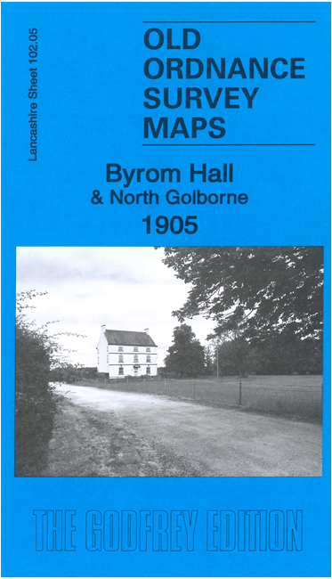
    This highly detailed map covers a semi-rural area north of Golborne and Lowton St Mary's.

    Features include Byrom Hall, Lightshaw Hall, Leigh Branch Canal, section of GCR railway with Westleigh & Bedford station, section of GCR St Helen's Branch, section of LNWR main line, Basin Railway, Colliery Basin.

    On the reverse we include a large section of the earlier 1891 map, when the St Helens Branch was under construction.

    The map links up with sheets 102.01 Abram to the north, 101.08 Ashton East to the west, 102.06 Pennington Flash to the east and 102.09 Golborne to the south.


  • Follow this link for a complete list of our Wigan or Bolton maps.
  • You can order maps direct from our On-line Mapshop. For other information and prices, and other areas, go to The Index Page.
  • Maps in the Godfrey Edition are taken from the 25 inch to the mile map and reduced to about 15 inches to the mile. For a full list of maps for the North West, return to the North West page.
    The Godfrey Edition / sales@alangodfreymaps.co.uk / 25 July 2022