
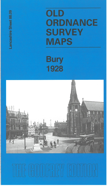
 Here are the details of maps for central Bury:
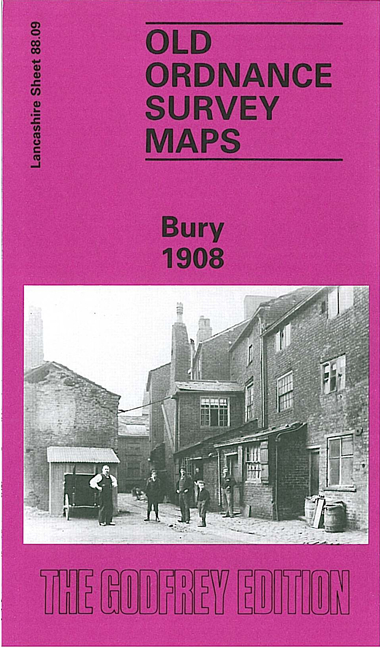

We have published two versions of this map, showing how the area changed across the years.
The maps cover much of the town centre and southern part of town, with coverage stretching from Moorgate southward to Park Hills Road, and from Millett Street eastward to Water Fold Farm. The many features include St Mary's church, St Paul's church, tramways with depot, railways with Knowsley Street and Bolton Street stations, engine shed, carriage sheds at Buckley Wells, Market Hall, Fishpool, Tentersfield, Castle Armoury, Bury Ground, Peel Tannery, Market Place, numerous mills of which several are named, Fustian Mill, Weaving Shed, Gigg Mills Siding, Water Fold Mill, Holy Trinity church, Park Hills and much more.
The map links up with Lancashire Sheets 88.05 Bury North to the north, 87.12 Bury West to the west, 88.10 Heap Bridge to the east, 88.13 Bury South to the south.