
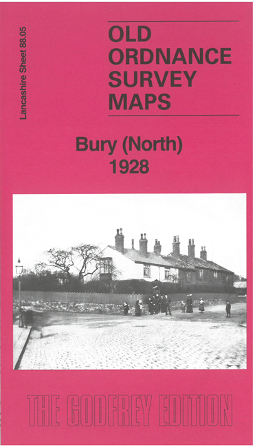
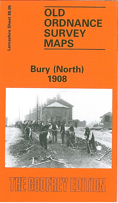
 Here are the details of maps for Bury (North):

We have published two versions of this map, showing how the area developed across the years.
The maps cover the northern part of Bury, with coverage stretching from Bell Lane northward to Little Wood Cross, and from Higher Woodhill eastward to Gorsey Brow. Walmersleys Road runs north-south through the centre of the map, with tramway, with many streets of terraces off it. Other features include the River Irwell, Higher Woodhill, Burrs with bleach works, Fern Hill, Fernhill Chemical Works, Peel Mills, a stretch of the LYR railway, a short stretch of the Tottington Branch with Woodhill Halt, Woodhill Fold (SW corner of map), Free Town, Clarence Recreation Ground, Chesham, Lowes Brick Works, Springfield Mill, Chesham Field Mills, Alexandra Mill, numerous other mills, Gipsy Brook.
The map links up with Lancashire Sheets 87.08 Bury NW to the west, 88.09 Bury to the south. to the east, 88.13 Bury South to the south and 88.06 Bury East to the east.