
 Here are the details of maps for Kew & Gunnersbury:

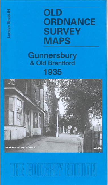
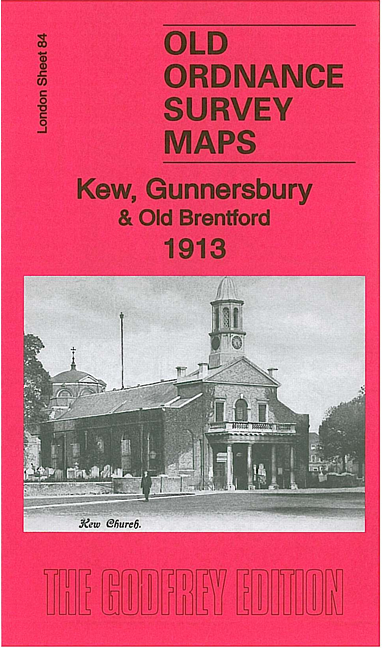
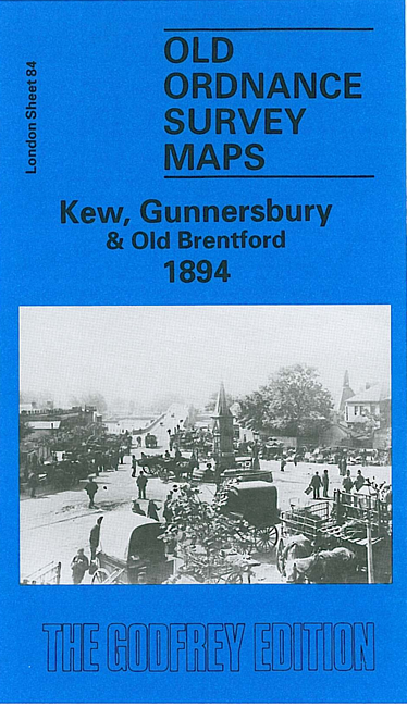
We have published three versions of this map, showing how the area changed across the years. Each covers the same area but note that on the 1935 version the area south of the Thames, in Surrey, is left blank.
The NW quarter covers Old Brentford, including the High Street (as far west as Smith Hill and the Royal Hotel), with malthouses, a brewery, wharves and the Brentford Ait island. East of this is Kew Bridge, the Star & Garter Hotel, Kew Bridge station, Brentford Market. In the NE quarter of the map is Gunnersbury, with Gunnersbury station, High Road, Wellesley Road, leading to part of Turnham Green at the edge of the map. Further south, on the Thames, is Strand on the Green, with boat houses and malthouses, and the map extends SE to the northern part of Grove Park, including Grove House and Chiswick & Grove Park station. Finally, on the Surrey side of the river is Kew, including Kew Green, St Anne's church, Kew Palace, and much of the Botanic Gardens, as far south as the Palm House but this area is only included on the two earlier versions. A varied map essential for many local historians, and with its wharves, tramways and railway junctions equally fascinating to transport historians. There are extracts from early directories on the reverse.
The map links up with London Sheets 71 South Acton to the north, 83 Brentford to the west, 85 Chiswick to the east, and 97 North Sheen to the south.