Old Ordnance Survey Maps of Kent

  • These detailed maps normally cover an area of about one and a half miles by one mile. Each map includes an introduction.
  • They are available through our On-line Mapshop

  • Here are the details of maps for north Gillingham:

  • Kent Sheet 19.04 Gillingham (North) 1933 - published 2024; intro by Pamela Taylor. ISBN.978-1-78721-787-4

    This map covers the busy shoreline of New Brompton and Gillingham.

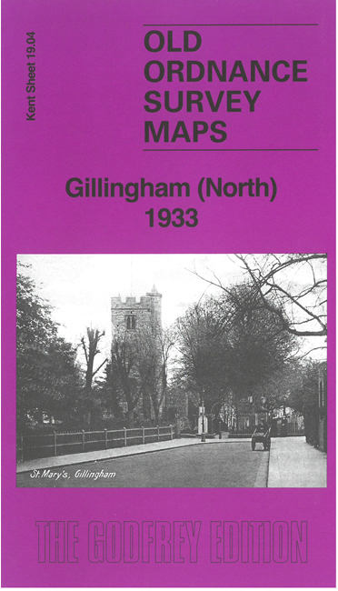
    The many features, shown here in detail with many military and naval buildings shown but not names, include the South Lock and basins, with railway sidings, the Coal Depot and many other features; Gillingham Marshes, Hoo Ness, River Medway, St Mary's church, Gillingham Portland Cement Works, Bathing pond, Gillingham Pier, St Luke's church, etc. We include extracts from a contemporary directory.

    The map links up with sheet 19.03 Chatham Dockyard to the west and 19.08 Central Gillingham to the south.


  • For other maps in Kent see our Kent page.
  • You can order maps direct from our On-line Mapshop. For other information and prices, go to The Index Page.
  • Maps in the Godfrey Edition are taken from the 25 inch to the mile map and reduced to about 15 inches to the mile. For a full list of maps for England, return to the England page
    The Godfrey Edition / sales@alangodfreymaps.co.uk / 30 Sptember 2024