 Here is information about Sheet 49:
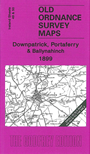
This Inch to the Mile map covers the area around Crossgar, Downpatrick and Portaferry, with coverage stretching from the eastern edge of Ballynahinch, eastward to the coast, and from Derryboy and Ardkeen southward to Cloghan Head. Adjacent sheet 50, which just covers the North and South Rocks, is also included.
Features include the towns of Downpatrick, Crossgar, Killyleagh and Portaferry. The southern part of Strangford Lough is included together with its approaches, while other features include Struell Hill, the railways to Downpatrick, with its branches southward, and the Ballynahinch branch.
Ballynahinch is split by the margin but on the reverse we include the town plan for Ballynahinch, showing the town in detail; features here include railway with terminus, Market Square, Railway Street, Windmill Street, High Street, Lisburn Street, Pork & Potato Market, Ballynahinch Lough, churches, and all other town centre buildings neatly delineated.
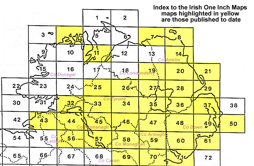
It is not possible to list the many hamlets, farmsteads and other topographical features shown on these maps. However, you may find it useful if we list the towns and principal villages or church parishes that are included on this map. Links are given for those for which detailed large-scale maps are also available.