Old Ordnance Survey Maps of Cambridgeshire

  • These detailed maps normally cover an area of about one and a half miles by one mile. Each map includes an introduction.
  • They are available through our On-line Mapshop

  • Here are the details of maps for Ely:
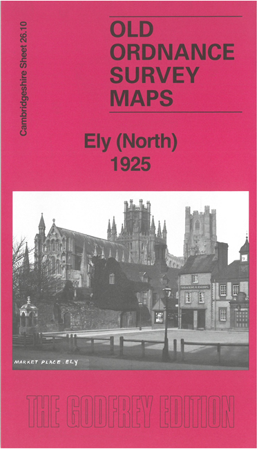
  • Cambridgeshire Sheet 26.14 Ely 1901 - published 2000; intro by Alan Godfrey. ISBN.978-1-84151-219-8

    This very detailed map gives good coverage of the small cathedral city of Ely, at a time when the Isle of Ely was regarded as a separate county, and Ely the county town; in 1909, however, the County Hall would be sited in March. Our map is double-sided to provide maximum coverage. The main map covers the area from the cathedral southward to the station and dock, and westward to the workhouse. Features include engine shed, Cherry Hill, Ely College, Back Hill, Gaol Lane, Militia Barracks, Water Side, Broad Street, River Ouse, The Quay. On the reverse is a section of sheet 26.10, extending coverage of the town northward, and including High Street, St Mary's Street, Nutholt Lane, Newbarns Road, cemetery, Little London, Market Place, Gaol Street. We also include a list of private residents from the 1912 directory.


  • Follow this link for a complete list of our Cambridgeshire maps.
  • You can order maps direct from our On-line Mapshop. For other information and prices, and other areas, go to The Index Page.
  • Maps in the Godfrey Edition are taken from the 25 inch to the mile map and reduced to about 15 inches to the mile. For a full list of maps for England, return to the England page.
    Alan Godfrey Maps, Prospect Business Park, Leadgate, Consett, Co Durham, DH8 7PW / sales@alangodfreymaps.co.uk / 25 November 2017