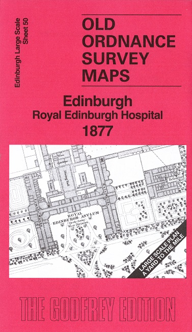
 Here are the details of our map for south Morningside:

This highly detailed map covers the area of Morningside from Canaan Lane and Morningside Park southward.
In 1877 Morningside did not extend south of the Jordan Burn so the principal features on our map is the Royal Edinburgh Asylum, which is shown in detail. Also shown are Canaan Lane and Jordan Lane, but south of the burn there is countryside with just the Egypt and Plewlands farms.
On the reverse we include 1:500 sheet III.15.3 covering part of the area in 1895.
The map links up sheet 46 North Morningside to the north.