Large Scale Maps of Edinburgh

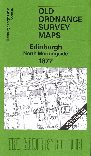
  • This map is taken from the original OS 1:1056 or 'Five'foot' plan and reduced to a scale of A Yard to the Mile. It shows the area in great detail, including the interiors of some public buildings. On the reverse we include a 1:500 map from the 1890s, here reduced in scale, showing part of the area at a later stage, together with a 2,000 word introduction to the history of the area.
  • They are available through our On-line Mapshop

  • Here are the details of our map for north Morningside:

  • Edinburgh 46 Edinburgh: North Morningside 1877 - published 2026; intro by Alan Godfrey. ISBN.978-1-919015-22-4

    This highly detailed map covers the area of Morningside from Merchiston Castle and Greenhill Park southward to Falcon Hall and its grounds.

    The map gives excellent coverage of the many villas that had been built by 1877 either side of the main road. Special features are Falcon Hall, Streatham House, Morningside Church, Morningside Free Church, tramway, Morningside House, Merchiston Castle, Tipperlinn House etc. The leafy gardens of many villas are also shown.

    On the reverse we include 1:500 sheet III.11.23 covering part of the area in 1895.

    The map links up sheet 50 Royal Edinburgh Hospital to the south.


  • Follow this link for a complete list of our Edinburgh maps. For other information and prices, and other areas, go to The Index Page.
  • This map is taken from the 5-foot plan and reduced to a scale of a Yard to the Mile. For a full list of maps for Scotland, return to the Scotland page.
    The Godfrey Edition / sales@alangodfreymaps.co.uk / 8 October 2026