Old Ordnance Survey Maps of Edinburgh

  • These detailed maps normally cover an area of about one and a half miles by one mile. Each map includes an introduction.
  • They are available through our On-line Mapshop

  • Here are the details of maps for Loanhead:

  • Edinburghshire Sheet 8.09 Loanhead & Lasswade 1906 - published 2024; intro by Alan Godfrey. ISBN.978-1-78721-750-8

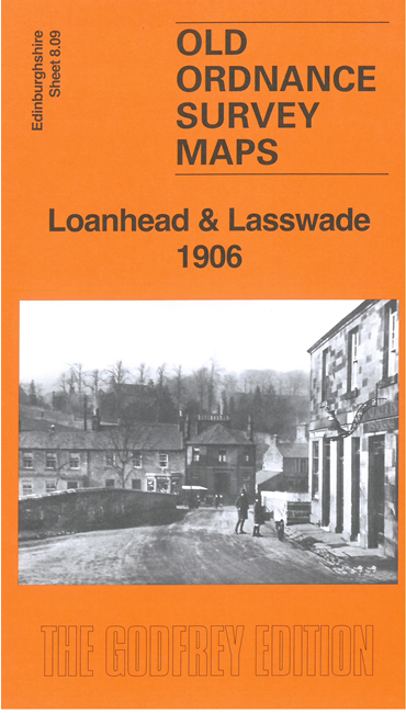
    This detailed map covers the centres of both Loanhead and Lasswade.

    Features include the centres of both Loanhead and Lasswade with individual buildings neatly shown, NBR Roslin branch with Loanhead station, Ramsey Pit, Edgefield, Station Iron Works, Loanhead Foundry, Dryden Bank, Mavisbank House, Fort, Bilston Lodge, Polton Paper Works, Polton Branch railway with Lasswade station, Polton House, Kevock Mills, Haveral Wood, Wadingburn, River North Esk, Lasswade church and Old Church, St Leonard's Paper Mill, St Leonard's Church, etc

    Directories of Loanhead and Polton are included on the reverse.

    The map links up with Edinburgh Sheet 8.10 Bonnyrigg to the east.


  • Follow this link for a complete list of our Edinburgh maps.
  • You can order maps direct from our On-line Mapshop. For other information and prices, and other areas, go to The Index Page.
  • Maps in the Godfrey Edition are taken from the 25 inch to the mile map and reduced to about 15 inches to the mile. For a full list of maps for Scotland, return to the Scotland page.
    The Godfrey Edition / sales@alangodfreymaps.co.uk / 13 June 2024