Old Ordnance Survey Maps of Sunderland

  • These detailed maps normally cover an area of about one and a half miles by one mile. Each map includes an introduction.
  • They are available through our On-line Mapshop

  • Here are the details of maps for West Herrington:

  • Co Durham Sheet 13.08 West Herrington 1915 - published 2023; intro by Alan Godfrey. ISBN.978-1-78721-621-1

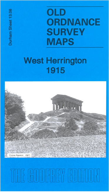
    This map covers West Herrington and the area north and west to Penshaw Monument. Features include Herrington Colliery.

    On the reverse we include a specially written introduction to the history of the area, together with a large extract from the First Edition six-inch map for the area, showing the area around (including Fatfield, Old Painshaw (or Penshaw) and Shiney Row in 1856.

    This map links up with Sheets 13.07 Penshaw to the west, 13.12 Newbottle to the south.


  • Follow this link for a complete list of our Sunderland maps.
  • You can order maps direct from our On-line Mapshop. For other information and prices, and other areas, go to The Index Page.
  • Maps in the Godfrey Edition are taken from the 25 inch to the mile map and reduced to about 15 inches to the mile. For a full list of maps for the North East, return to the North East page.
    The Godfrey Edition / sales@alangodfreymaps.co.uk / 8 February 2023