Old Ordnance Survey Maps of Devon

  • These detailed maps normally cover an area of about one and a half miles by one mile. Each map includes an introduction.
  • They are available through our On-line Mapshop

  • Here are the details of maps for Teignmouth:

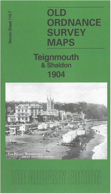
  • Devon Sheet 110.07 Teignmouth & Shaldon 1904 - published 2026; intro by Alan Godfrey. ISBN.978-1-78721-991-5

    This detailed map of Teignmouth is double-sided for maximum coverage and includes a specially written introduction to the history of the town.

    The main map covers most of the town centre, extending northward to St Scholastica's Abbey. Features include railway with station, St Michael's church, St James church, Winterbourne, Mount Maria, Convent, many villas outside the town, Barnpark Terrace, Gorway, etc.

    On the reverse is an extract from adjacent sheet 110.11 extending coverage south to The Point and across the River Teign to Shaldon.


  • Follow this link for a list of our maps for Devon county or Plymouth; or here for a general list for the South West. For other information and prices, and other areas, go to The Index Page.
  • Maps in the Godfrey Edition are taken from the 25 inch to the mile map and reduced to about 15 inches to the mile. For a full list of maps for England, return to the England page.
    Alan Godfrey Maps, Prospect Business Park, Leadgate, Consett, Co Durham, DH8 7PW / sales@alangodfreymaps.co.uk / 3 July 2026