Old Ordnance Survey Maps of Devon

  • These detailed maps normally cover an area of about one and a half miles by one mile. Each map includes an introduction.
  • They are available through our On-line Mapshop

  • Here are the details of maps for Exminster:

  • Devon Sheet 92.03 Exminster 1904 - published 2026; intro by Richard Oliver. ISBN.978-1-78721-953-3

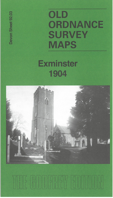
    This map gives excellent detailed coverage of the village of Exminster, just S of Exeter.

    Features include Exminster village with individual buildings shown, St Martin's church, railway with northern part of station, Crockwell's Farm, Industrial School, Exeter Canal, Milbury Farm etc. A major feature is the County Lunatic Asylum.

    On the reverse we include 1906 and 1939 directories of Exminster together with a specially written introduction to the history of the area.

    The map links up with sheet 92.04 Topsham to the east.


  • Follow this link for a list of our maps for Devon county or Plymouth; or here for a general list for the South West. For other information and prices, and other areas, go to The Index Page.
  • Maps in the Godfrey Edition are taken from the 25 inch to the mile map and reduced to about 15 inches to the mile. For a full list of maps for England, return to the England page.
    Alan Godfrey Maps, Prospect Business Park, Leadgate, Consett, Co Durham, DH8 7PW / sales@alangodfreymaps.co.uk / 12 February 2026