Old Ordnance Survey Maps of Cambridgeshire

  • These detailed maps normally cover an area of about one and a half miles by one mile. Each map includes an introduction.
  • They are available through our On-line Mapshop

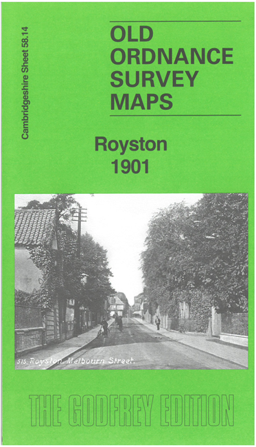
  • Here are the details of maps for Royston:

  • Cambridgeshire 58.14 Royston 1901 - published 2025; intro by Tony Kirby. ISBN.978-1-78721-834-5

    This detailed map, on the border between Cambridgeshire and Hertfordshire, is double-sided for maximum coverage. It gives excellent coverage of the town.

    Features include town centre with individual buildings clearly shown, St John's church, Brewery, Market Place, Flint Hall, Limekiln Hill, cottage hospital, Icknield Way, Park House, The Warren, Royston Workhouse, chapels, Wicker Hall, etc.

    On the reverse we include a large extract of adjacent sheet 58.10 extending coverage north to include the railway and station.


  • Follow this link for a complete list of our Hertfordshire Series maps or go to the Cambridgeshire page for Cambridgeshire.
  • For other information and prices, and other areas, go to The Index Page
  • Maps in the Godfrey Edition are taken from the 25 inch to the mile map and reduced to about 15 inches to the mile. For a full list of maps for England, return to the England page.
    The Godfrey Edition / sales@alangodfreymaps.co.uk / 8 May 2025