Old Ordnance Survey Maps of Cambridgeshire

  • These detailed maps normally cover an area of about one and a half miles by one mile. Each map includes an introduction.
  • They are available through our On-line Mapshop

  • Here are the details of maps for Cambridge (North):

  • Sheet 40.14a Cambridge (North) 1901 - published 2013; intro by Andrew Bethune. ISBN.978-1-84784-692-1
  • Sheet 40.14b Cambridge (North) 1925 - published 2026; intro by Pamela Taylor. ISBN.978-1-78721-965-6

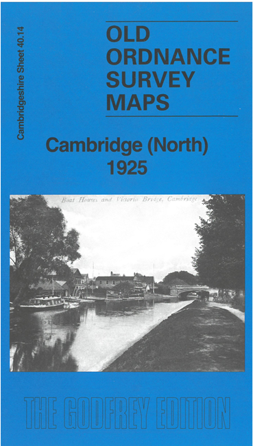
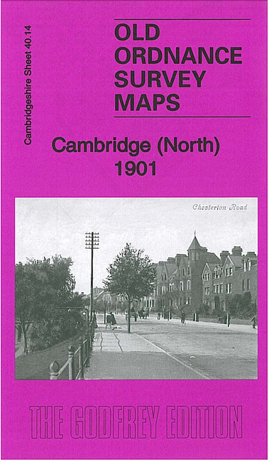
    This detailed map covers the north of Cambridge, including New Chesterton, with coverage extending from Richmond Road eastward to St Andrew's church, Chesterton, and from Northampton Street northward to Union Road.

    Features include Chesterton Workhouse, St Andrew's church Chesterton, Manor House, Cambridge Cemetery, Shire Hall, St Giles church, St Mary Magdalene College, Westminster College, St Edmund's House, The Orchard, The Grove, Chesterton Mills, Leys Laundry, Hall Farm, Midsummer Common, River Cam, St Luke's church, ferry crossings, boat houses etc.

    Each map includes extracts from an early directory, along with a specially written introduction.

    The map links up with sheet 40.15 Cambridge NE to the east, 47.02 Cambridge to the south.


  • Follow this link for a complete list of our Cambridgeshire maps.
  • You can order maps direct from our On-line Mapshop. For other information and prices, and other areas, go to The Index Page.
  • Maps in the Godfrey Edition are taken from the 25 inch to the mile map and reduced to about 15 inches to the mile. For a full list of maps for England, return to the England page.
    Alan Godfrey Maps, Prospect Business Park, Leadgate, Consett, Co Durham, DH8 7PW / sales@alangodfreymaps.co.uk / 19 March 2026