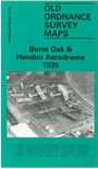
 Here is information about the map for Burnt Oak:

We have published just the one version of this. It is dominated by Hendon Aerodrome, which covers the central area of the map but which, with its hangers and other buildings, is left blank for security reasons. But there is much of interest around it. To the west lie Colindale and Burnt Oak stations, Colindale Hospital, Watling Park and the many streets of Burnt Oak from Grange Hill Road eastward. To the right of the aerodrome (which finally closed to flying in 1957) appear the new arterial roads, Great Northway and Watford Way, dating from 1926 and 1927. A last reminder of the rural past, Good Hews Farm, would soon disappear. To provide a vivid contrast, on the reverse we include over half of the 1896 version of the same map, showing the Midland Railway and GNR Edgware Branch going through open fields, Page Street a small rural settlement, and Hall Lane meandering where Watford Way would later rush. Stewart Gillies' introduction tells how Claude Grahame-White turned Hendon into one of the four leading airfields in the country, and of its impact on the area.
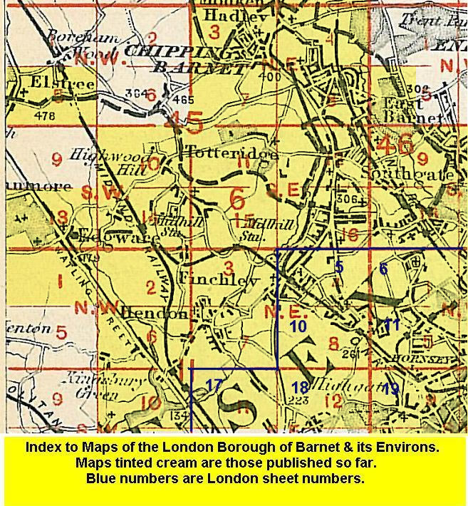
The map links up with Middlesex Sheets 6.14 Mill Hill Broadway to the north, 11.01 Burnt Oak & Little Stanmore to the west, 11.03 Finchley & Holders hill to the east, and 11.06 Kingsbury Green to the south.