
 Here are the details of maps for Balham & Clapham Park:

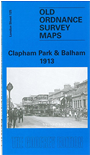
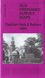
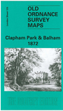
We have published three versions of this map, showing how the area developed across the years. Each covers an area stretching from Mayford Road and Wontner Road eastward to Montrell Road and Killieser Avenue; and from Temperley Road and Yukon Road southward to Ritherdon Road and Mount Ephraim Road.
These streets, however, are generally not yet built on the 1872 map, where development is at an earlier stage; this map is very attractive, showing villas on the main roads with their leafy gardens. Principal roads on all the maps are a long stretch of Balham Road on the west side of the map, and Atkins Road, Thornton Road and New Park Road in the Clapham Park area to the east. Other features include Balham and Streatham Hill stations, Bedfordhill House, Tooting Bec Common. Each map has street directory extracts and the 1872 map has the Balham Court Guide.
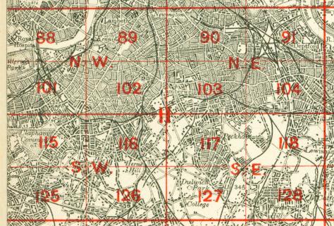
The map links up with Sheets 115 Clapham Common to the north, 124 Wandsworth Common to the west, 126 Streatham Hill to the east, 135 West Streatham to the south.
 Follow this link for a complete list of our London maps .