
 Here are the details of maps for Shipley Wrose:

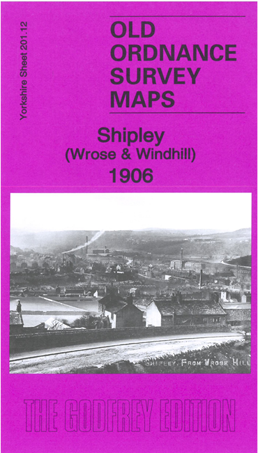
This detailed map covers the area to the east of Shipley including Wrose and extending eastward to Highfield Road.
Features include Lower Holme Mills: short sections of the River Aire, Leeds & Liverpool Canal and Midland Railway; GNR Shipley Branch with terminus; Wrose Hill, Wrose, Christ Church, Wood End and Windhill areas, Gaisby Hill, Mossman Fields, Idle Hill, Catstones Quarry, Idle Hill Reservoir, Stone Shaw Mills, All Alone, Starting Stoup, Highfild Road with tramway, Blake Hill Quarries etc.
On the reverse we include a section of the 1st edition six-inch map for the area surveyed in 1847-8.
The map links up with sheets 201.08 Baildon to the north, 201.11 Shipley to the west, 202.09 Idle to the east and 201.16 Bolton Woods to the south.